
GPX and KML files are standard formats for storing geographic data like points, routes, and tracks. KML (Keyhole Markup Language), based on XML, is primarily used for visualizing spatial information in applications like Google Earth, defining placemarks, paths, overlays, and styling. GPX (GPS Exchange Format), also XML-based, focuses specifically on recording GPS data – tracks, waypoints, and routes – captured by devices.
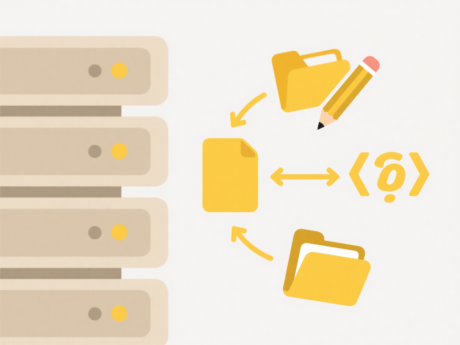
You can open .kml and .gpx files with many mapping applications and services. Popular mobile navigation apps (e.g., Organic Maps, Gaia GPS, Google Earth) and desktop GIS software (like QGIS or ArcGIS) handle both formats. Dedicated GPS hardware from companies like Garmin primarily uses .gpx for recording and transferring outdoor activity data. Web platforms (Strava, Komoot) also allow importing these files to visualize routes.
These formats provide portability and cross-platform compatibility, essential for sharing location-based information. However, GPX is generally simpler and handles only core track data, while KML supports richer visualizations but can be more complex. Ethically, users should be aware these files contain precise location data, raising privacy concerns when shared publicly. Seamless direct opening within more lightweight mobile apps continues to improve.
What opens .gpx or .kml map files?
GPX and KML files are standard formats for storing geographic data like points, routes, and tracks. KML (Keyhole Markup Language), based on XML, is primarily used for visualizing spatial information in applications like Google Earth, defining placemarks, paths, overlays, and styling. GPX (GPS Exchange Format), also XML-based, focuses specifically on recording GPS data – tracks, waypoints, and routes – captured by devices.
You can open .kml and .gpx files with many mapping applications and services. Popular mobile navigation apps (e.g., Organic Maps, Gaia GPS, Google Earth) and desktop GIS software (like QGIS or ArcGIS) handle both formats. Dedicated GPS hardware from companies like Garmin primarily uses .gpx for recording and transferring outdoor activity data. Web platforms (Strava, Komoot) also allow importing these files to visualize routes.
These formats provide portability and cross-platform compatibility, essential for sharing location-based information. However, GPX is generally simpler and handles only core track data, while KML supports richer visualizations but can be more complex. Ethically, users should be aware these files contain precise location data, raising privacy concerns when shared publicly. Seamless direct opening within more lightweight mobile apps continues to improve.
Quick Article Links
How do I rename files for better searchability?
Renaming files improves searchability by using descriptive names instead of generic ones like "document1.pdf". This mean...
Can I change a whole folder of .jpeg files to .jpg?
Changing file extensions from .jpeg to .jpg involves modifying the suffix of filenames. The terms .jpeg and .jpg represe...
How do I fix inconsistent file names in a shared project?
Inconsistent file names occur when multiple collaborators use different naming conventions for project documents, causin...